 |
JSBSim Flight Dynamics Model 1.3.1 (17 May 2026)
An Open Source Flight Dynamics and Control Software Library in C++
|
|
JSBSim Flight Dynamics Model 1.3.1 (17 May 2026)
An Open Source Flight Dynamics and Control Software Library in C++
|
FGLocation holds an arbitrary location in the Earth centered Earth fixed reference frame (ECEF).
The coordinate frame ECEF has its center in the middle of the earth. The X-axis points from the center of the Earth towards a location with zero latitude and longitude on the Earth surface. The Y-axis points from the center of the Earth towards a location with zero latitude and 90 deg East longitude on the Earth surface. The Z-axis points from the Earth center to the geographic north pole.
This class provides access functions to set and get the location as either the simple X, Y and Z values in ft or longitude/latitude and the radial distance of the location from the Earth center.
It is common to associate a parent frame with a location. This frame is usually called the local horizontal frame or simply the local frame. It is also called the NED frame (North, East, Down), as well as the Navigation frame. This frame has its X/Y plane parallel to the surface of the Earth. The X-axis points towards north, the Y-axis points east and the Z-axis is normal to the reference spheroid (WGS84 for Earth).
Since the local frame is determined by the location (and NOT by the orientation of the vehicle IN any frame), this class also provides the rotation matrices required to transform from the Earth centered (ECEF) frame to the local horizontal frame and back. This class "owns" the transformations that go from the ECEF frame to and from the local frame. Again, this is because the ECEF, and local frames do not involve the actual orientation of the vehicle - only the location on the Earth surface. There are conversion functions for conversion of position vectors given in the one frame to positions in the other frame.
The Earth centered reference frame is NOT an inertial frame since it rotates with the Earth.
The cartesian coordinates (X,Y,Z) in the Earth centered frame are the master values. All other values are computed from these master values and are cached as long as the location is changed by access through a non-const member function. Values are cached to improve performance. It is best practice to work with a natural set of master values. Other parameters that are derived from these master values are calculated only when needed, and IF they are needed and calculated, then they are cached (stored and remembered) so they do not need to be re-calculated until the master values they are derived from are themselves changed (and become stale).
Accuracy and round off
Given,
we have an accuracy of about
1e-16*2e7ft/1 = 2e-9 ft
left. This should be sufficient for our needs. Note that this is the same relative accuracy we would have when we compute directly with lon/lat/radius. For the radius value this is clear. For the lon/lat pair this is easy to see. Take for example KSFO located at about 37.61 deg north 122.35 deg west, which corresponds to 0.65642 rad north and 2.13541 rad west. Both values are of magnitude of about 1. But 1 ft corresponds to about 1/(2e7*2*pi) = 7.9577e-09 rad. So the left accuracy with this representation is also about 1*1e-16/7.9577e-09 = 1.2566e-08 which is of the same magnitude as the representation chosen here.
The advantage of this representation is that it is a linear space without singularities. The singularities are the north and south pole and most notably the non-steady jump at -pi to pi. It is harder to track this jump correctly especially when we need to work with error norms and derivatives of the equations of motion within the time-stepping code. Also, the rate of change is of the same magnitude for all components in this representation which is an advantage for numerical stability in implicit time-stepping.
Note: Both GEOCENTRIC and GEODETIC latitudes can be used. In order to get best matching relative to a map, geodetic latitude must be used.
Definition at line 151 of file FGLocation.h.
#include <FGLocation.h>
 Inheritance diagram for FGLocation: Collaboration diagram for FGLocation:
Public Member Functions | |
| FGLocation (const FGColumnVector3 &lv) | |
| Constructor to initialize the location with the cartesian coordinates (X,Y,Z) contained in the input FGColumnVector3. | |
| FGLocation (const FGLocation &l) | |
| Copy constructor. | |
| FGLocation (double lon, double lat, double radius) | |
| Constructor to set the longitude, latitude and the distance from the center of the earth. | |
| FGLocation (void) | |
| Default constructor. | |
| double & | Entry (unsigned int idx) |
| Write access the entries of the vector. | |
| double | Entry (unsigned int idx) const |
| Read access the entries of the vector. | |
| double | GetCosLongitude () const |
| Get the cosine of Longitude. | |
| double | GetDistanceTo (double target_longitude, double target_latitude) const |
| Get the geodetic distance between the current location and a given location. | |
| double | GetGeodAltitude (void) const |
| Gets the geodetic altitude in feet. | |
| double | GetGeodLatitudeDeg (void) const |
| Get the GEODETIC latitude in degrees. | |
| double | GetGeodLatitudeRad (void) const |
| Get the GEODETIC latitude in radians. | |
| double | GetHeadingTo (double target_longitude, double target_latitude) const |
| Get the heading that should be followed from the current location to a given location along the shortest path. | |
| double | GetLatitude () const |
| Get the GEOCENTRIC latitude in radians. | |
| double | GetLatitudeDeg () const |
| Get the GEOCENTRIC latitude in degrees. | |
| double | GetLongitude () const |
| Get the longitude. | |
| double | GetLongitudeDeg () const |
| Get the longitude. | |
| double | GetRadius () const |
| Get the distance from the center of the earth in feet. | |
| double | GetSeaLevelRadius (void) const |
| Get the sea level radius in feet below the current location. | |
| double | GetSinLongitude () const |
| Get the sine of Longitude. | |
| const FGMatrix33 & | GetTec2l (void) const |
| Transform matrix from the earth centered to local horizontal frame. | |
| const FGMatrix33 & | GetTl2ec (void) const |
| Transform matrix from local horizontal to earth centered frame. | |
| FGLocation | LocalToLocation (const FGColumnVector3 &lvec) const |
| Conversion from Local frame coordinates to a location in the earth centered and fixed frame. | |
| FGColumnVector3 | LocationToLocal (const FGColumnVector3 &ecvec) const |
| Conversion from a location in the earth centered and fixed frame to local horizontal frame coordinates. | |
| operator const FGColumnVector3 & () const | |
| Cast to a simple 3d vector. | |
| bool | operator!= (const FGLocation &l) const |
| This operator returns true if the ECEF location vectors for the two location objects are not equal. | |
| double & | operator() (unsigned int idx) |
| Write access the entries of the vector. | |
| double | operator() (unsigned int idx) const |
| Read access the entries of the vector. | |
| FGLocation | operator* (double scalar) const |
| This operator scales an ECEF position vector. | |
| const FGLocation & | operator*= (double scalar) |
| This operator scales the ECEF position vector. | |
| FGLocation | operator+ (const FGLocation &l) const |
| This operator adds two ECEF position vectors. | |
| const FGLocation & | operator+= (const FGLocation &l) |
| This operator adds the ECEF position vectors. | |
| FGLocation | operator- (const FGLocation &l) const |
| This operator substracts two ECEF position vectors. | |
| const FGLocation & | operator-= (const FGLocation &l) |
| This operator substracts the ECEF position vectors. | |
| const FGLocation & | operator/= (double scalar) |
| This operator scales the ECEF position vector. | |
| const FGLocation & | operator= (const FGColumnVector3 &v) |
| Sets this location via the supplied vector. | |
| FGLocation & | operator= (const FGLocation &l) |
| Sets this location via the supplied location object. | |
| bool | operator== (const FGLocation &l) const |
| This operator returns true if the ECEF location vectors for the two location objects are equal. | |
| void | SetEllipse (double semimajor, double semiminor) |
| Sets the semimajor and semiminor axis lengths for this planet. | |
| void | SetLatitude (double latitude) |
| Set the GEOCENTRIC latitude. | |
| void | SetLongitude (double longitude) |
| Set the longitude. | |
| void | SetPosition (double lon, double lat, double radius) |
| Sets the longitude, latitude and the distance from the center of the earth. | |
| void | SetPositionGeodetic (double lon, double lat, double height) |
| Sets the longitude, latitude and the distance above the reference spheroid. | |
| void | SetRadius (double radius) |
| Set the distance from the center of the earth. | |
| Public Member Functions inherited from FGJSBBase | |
| FGJSBBase () | |
| Constructor for FGJSBBase. | |
| virtual | ~FGJSBBase () |
| Destructor for FGJSBBase. | |
| void | disableHighLighting (void) |
| Disables highlighting in the console output. | |
Additional Inherited Members | |
| Public Types inherited from FGJSBBase | |
| enum | { eL = 1 , eM , eN } |
| Moments L, M, N. More... | |
| enum | { eP = 1 , eQ , eR } |
| Rates P, Q, R. More... | |
| enum | { eU = 1 , eV , eW } |
| Velocities U, V, W. More... | |
| enum | { eX = 1 , eY , eZ } |
| Positions X, Y, Z. More... | |
| enum | { ePhi = 1 , eTht , ePsi } |
| Euler angles Phi, Theta, Psi. More... | |
| enum | { eDrag = 1 , eSide , eLift } |
| Stability axis forces, Drag, Side force, Lift. More... | |
| enum | { eRoll = 1 , ePitch , eYaw } |
| Local frame orientation Roll, Pitch, Yaw. More... | |
| enum | { eNorth = 1 , eEast , eDown } |
| Local frame position North, East, Down. More... | |
| enum | { eLat = 1 , eLong , eRad } |
| Locations Radius, Latitude, Longitude. More... | |
| enum | { inNone = 0 , inDegrees , inRadians , inMeters , inFeet } |
| Conversion specifiers. More... | |
| Static Public Member Functions inherited from FGJSBBase | |
| static const std::string & | GetVersion (void) |
| Returns the version number of JSBSim. | |
| static constexpr double | KelvinToFahrenheit (double kelvin) |
| Converts from degrees Kelvin to degrees Fahrenheit. | |
| static constexpr double | CelsiusToRankine (double celsius) |
| Converts from degrees Celsius to degrees Rankine. | |
| static constexpr double | RankineToCelsius (double rankine) |
| Converts from degrees Rankine to degrees Celsius. | |
| static constexpr double | KelvinToRankine (double kelvin) |
| Converts from degrees Kelvin to degrees Rankine. | |
| static constexpr double | RankineToKelvin (double rankine) |
| Converts from degrees Rankine to degrees Kelvin. | |
| static constexpr double | FahrenheitToCelsius (double fahrenheit) |
| Converts from degrees Fahrenheit to degrees Celsius. | |
| static constexpr double | CelsiusToFahrenheit (double celsius) |
| Converts from degrees Celsius to degrees Fahrenheit. | |
| static constexpr double | CelsiusToKelvin (double celsius) |
| Converts from degrees Celsius to degrees Kelvin. | |
| static constexpr double | KelvinToCelsius (double kelvin) |
| Converts from degrees Kelvin to degrees Celsius. | |
| static constexpr double | FeetToMeters (double measure) |
| Converts from feet to meters. | |
| static bool | EqualToRoundoff (double a, double b) |
| Finite precision comparison. | |
| static bool | EqualToRoundoff (float a, float b) |
| Finite precision comparison. | |
| static bool | EqualToRoundoff (float a, double b) |
| Finite precision comparison. | |
| static bool | EqualToRoundoff (double a, float b) |
| Finite precision comparison. | |
| static constexpr double | Constrain (double min, double value, double max) |
| Constrain a value between a minimum and a maximum value. | |
| static constexpr double | sign (double num) |
| Static Public Attributes inherited from FGJSBBase | |
| static char | highint [5] = {27, '[', '1', 'm', '\0' } |
| highlights text | |
| static char | halfint [5] = {27, '[', '2', 'm', '\0' } |
| low intensity text | |
| static char | normint [6] = {27, '[', '2', '2', 'm', '\0' } |
| normal intensity text | |
| static char | reset [5] = {27, '[', '0', 'm', '\0' } |
| resets text properties | |
| static char | underon [5] = {27, '[', '4', 'm', '\0' } |
| underlines text | |
| static char | underoff [6] = {27, '[', '2', '4', 'm', '\0' } |
| underline off | |
| static char | fgblue [6] = {27, '[', '3', '4', 'm', '\0' } |
| blue text | |
| static char | fgcyan [6] = {27, '[', '3', '6', 'm', '\0' } |
| cyan text | |
| static char | fgred [6] = {27, '[', '3', '1', 'm', '\0' } |
| red text | |
| static char | fggreen [6] = {27, '[', '3', '2', 'm', '\0' } |
| green text | |
| static char | fgdef [6] = {27, '[', '3', '9', 'm', '\0' } |
| default text | |
| static short | debug_lvl = 1 |
| Static Protected Member Functions inherited from FGJSBBase | |
| static std::string | CreateIndexedPropertyName (const std::string &Property, int index) |
| Static Protected Attributes inherited from FGJSBBase | |
| static constexpr double | radtodeg = 180. / M_PI |
| static constexpr double | degtorad = M_PI / 180. |
| static constexpr double | hptoftlbssec = 550.0 |
| static constexpr double | psftoinhg = 0.014138 |
| static constexpr double | psftopa = 47.88 |
| static constexpr double | fttom = 0.3048 |
| static constexpr double | ktstofps = 1852./(3600*fttom) |
| static constexpr double | fpstokts = 1.0 / ktstofps |
| static constexpr double | inchtoft = 1.0/12.0 |
| static constexpr double | m3toft3 = 1.0/(fttom*fttom*fttom) |
| static constexpr double | in3tom3 = inchtoft*inchtoft*inchtoft/m3toft3 |
| static constexpr double | inhgtopa = 3386.38 |
| static constexpr double | slugtolb = 32.174049 |
| Note that definition of lbtoslug by the inverse of slugtolb and not to a different constant you can also get from some tables will make lbtoslug*slugtolb == 1 up to the magnitude of roundoff. | |
| static constexpr double | lbtoslug = 1.0/slugtolb |
| static constexpr double | kgtolb = 2.20462 |
| static constexpr double | kgtoslug = 0.06852168 |
| static const std::string | needed_cfg_version = "2.0" |
| static const std::string | JSBSim_version = JSBSIM_VERSION " " __DATE__ " " __TIME__ |
| FGLocation | ( | void | ) |
Default constructor.
Definition at line 56 of file FGLocation.cpp.
Here is the call graph for this function:| FGLocation | ( | double | lon, |
| double | lat, | ||
| double | radius | ||
| ) |
Constructor to set the longitude, latitude and the distance from the center of the earth.
| lon | longitude |
| lat | GEOCENTRIC latitude |
| radius | distance from center of earth to vehicle in feet |
Definition at line 71 of file FGLocation.cpp.
Here is the call graph for this function:| FGLocation | ( | const FGColumnVector3 & | lv | ) |
Constructor to initialize the location with the cartesian coordinates (X,Y,Z) contained in the input FGColumnVector3.
Distances are in feet, the position is expressed in the ECEF frame.
| lv | vector that contain the cartesian coordinates |
Definition at line 94 of file FGLocation.cpp.
Here is the call graph for this function:| FGLocation | ( | const FGLocation & | l | ) |
Copy constructor.
Definition at line 109 of file FGLocation.cpp.
|
inline |
Write access the entries of the vector.
| idx | the component index. |
Definition at line 374 of file FGLocation.h.
|
inline |
Read access the entries of the vector.
| idx | the component index. |
double operator()(unsigned int idx) const function. It is used internally to access the elements in a more convenient way. Note that the index given in the argument is unchecked. Definition at line 364 of file FGLocation.h.
|
inline |
Get the cosine of Longitude.
Definition at line 246 of file FGLocation.h.
| double GetDistanceTo | ( | double | target_longitude, |
| double | target_latitude | ||
| ) | const |
Get the geodetic distance between the current location and a given location.
This corresponds to the shortest distance between the two locations. Earth curvature is taken into account.
| target_longitude | the target longitude in radians |
| target_latitude | the target geodetic latitude in radians |
Definition at line 377 of file FGLocation.cpp.
|
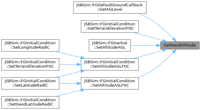
inline |
Gets the geodetic altitude in feet.
Definition at line 279 of file FGLocation.h.
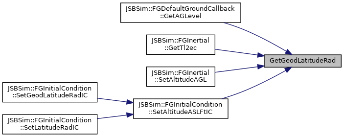
Here is the caller graph for this function:
|
inline |
Get the GEODETIC latitude in degrees.
Definition at line 273 of file FGLocation.h.
|
inline |
Get the GEODETIC latitude in radians.
Definition at line 258 of file FGLocation.h.
Here is the caller graph for this function:| double GetHeadingTo | ( | double | target_longitude, |
| double | target_latitude | ||
| ) | const |
Get the heading that should be followed from the current location to a given location along the shortest path.
Earth curvature is taken into account.
| target_longitude | the target longitude in radians |
| target_latitude | the target geodetic latitude in radians |
Definition at line 392 of file FGLocation.cpp.
|
inline |
Get the GEOCENTRIC latitude in radians.
Definition at line 252 of file FGLocation.h.
Here is the caller graph for this function:
|
inline |
Get the GEOCENTRIC latitude in degrees.
Definition at line 267 of file FGLocation.h.
|
inline |
Get the longitude.
Definition at line 234 of file FGLocation.h.
Here is the caller graph for this function:
|
inline |
Get the longitude.
Definition at line 240 of file FGLocation.h.
|
inline |
Get the distance from the center of the earth in feet.
Definition at line 291 of file FGLocation.h.
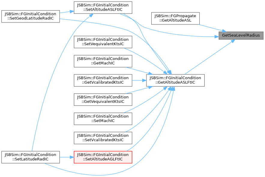
Here is the caller graph for this function:| double GetSeaLevelRadius | ( | void | ) | const |
Get the sea level radius in feet below the current location.
Definition at line 273 of file FGLocation.cpp.
Here is the caller graph for this function:
|
inline |
Get the sine of Longitude.
Definition at line 243 of file FGLocation.h.
|
inline |
Transform matrix from the earth centered to local horizontal frame.
Definition at line 301 of file FGLocation.h.
|
inline |
Transform matrix from local horizontal to earth centered frame.
Definition at line 296 of file FGLocation.h.
|
inline |
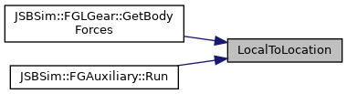
Conversion from Local frame coordinates to a location in the earth centered and fixed frame.
This function calculates the FGLocation of an object which position relative to the vehicle is given as in input.
| lvec | Vector in the local horizontal coordinate frame |
Definition at line 326 of file FGLocation.h.
Here is the caller graph for this function:
|
inline |
Conversion from a location in the earth centered and fixed frame to local horizontal frame coordinates.
This function calculates the relative position between the vehicle and the input vector and returns the result expressed in the local frame.
| ecvec | Vector in the earth centered and fixed frame |
Definition at line 336 of file FGLocation.h.
|
inline |
Cast to a simple 3d vector.
Definition at line 476 of file FGLocation.h.
|
inline |
This operator returns true if the ECEF location vectors for the two location objects are not equal.
Definition at line 407 of file FGLocation.h.
|
inline |
Write access the entries of the vector.
| idx | the component index. |
Definition at line 354 of file FGLocation.h.
|
inline |
Read access the entries of the vector.
| idx | the component index. Return the value of the matrix entry at the given index. Indices are counted starting with 1. Note that the index given in the argument is unchecked. |
Definition at line 347 of file FGLocation.h.
|
inline |
This operator scales an ECEF position vector.
A new object is returned that defines a position made of the cartesian coordinates of the provided ECEF position scaled by the supplied scalar value.
Definition at line 469 of file FGLocation.h.
Here is the call graph for this function:
|
inline |
This operator scales the ECEF position vector.
The cartesian coordinates of the ECEF position vector on the left side of the equality are scaled by the supplied value (right side), and a reference to this object is returned.
Definition at line 433 of file FGLocation.h.
|
inline |
This operator adds two ECEF position vectors.
A new object is returned that defines a position which is the sum of the cartesian coordinates of the two positions provided.
Definition at line 450 of file FGLocation.h.
Here is the call graph for this function:
|
inline |
This operator adds the ECEF position vectors.
The cartesian coordinates of the supplied vector (right side) are added to the ECEF position vector on the left side of the equality, and a reference to this object is returned.
Definition at line 413 of file FGLocation.h.
|
inline |
This operator substracts two ECEF position vectors.
A new object is returned that defines a position which is the difference of the cartesian coordinates of the two positions provided.
Definition at line 459 of file FGLocation.h.
Here is the call graph for this function:
|
inline |
This operator substracts the ECEF position vectors.
The cartesian coordinates of the supplied vector (right side) are substracted from the ECEF position vector on the left side of the equality, and a reference to this object is returned.
Definition at line 423 of file FGLocation.h.
|
inline |
This operator scales the ECEF position vector.
The cartesian coordinates of the ECEF position vector on the left side of the equality are scaled by the inverse of the supplied value (right side), and a reference to this object is returned.
Definition at line 443 of file FGLocation.h.
|
inline |
Sets this location via the supplied vector.
The location can be set by an Earth-centered, Earth-fixed (ECEF) frame position vector. The cache is marked as invalid, so any future requests for selected important data will cause the parameters to be calculated.
| v | the ECEF column vector in feet. |
Definition at line 384 of file FGLocation.h.
| FGLocation & operator= | ( | const FGLocation & | l | ) |
Sets this location via the supplied location object.
| l | A location object reference. |
Definition at line 140 of file FGLocation.cpp.
|
inline |
This operator returns true if the ECEF location vectors for the two location objects are equal.
Definition at line 401 of file FGLocation.h.
| void SetEllipse | ( | double | semimajor, |
| double | semiminor | ||
| ) |
Sets the semimajor and semiminor axis lengths for this planet.
The eccentricity and flattening are calculated from the semimajor and semiminor axis lengths.
| semimajor | planet semi-major axis in ft. |
| semiminor | planet semi-minor axis in ft. |
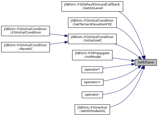
Definition at line 259 of file FGLocation.cpp.
Here is the caller graph for this function:| void SetLatitude | ( | double | latitude | ) |
Set the GEOCENTRIC latitude.
| latitude | GEOCENTRIC latitude in rad to set. Sets the latitude of the location represented with this class instance to the value of the given argument. The value is meant to be in rad. The longitude and the radius value are preserved with this call with the exception of radius being equal to zero. If the radius is previously set to zero it is changed to be equal to 1.0 past this call. Latitude is positive north and negative south. The arguments should be within the bounds of -pi/2 <= lat <= pi/2. The behavior of this function with arguments outside this range is left as an exercise to the gentle reader ... |
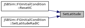
Definition at line 190 of file FGLocation.cpp.
Here is the call graph for this function: Here is the caller graph for this function:| void SetLongitude | ( | double | longitude | ) |
Set the longitude.
| longitude | Longitude in rad to set. Sets the longitude of the location represented with this class instance to the value of the given argument. The value is meant to be in rad. The latitude and the radius value are preserved with this call with the exception of radius being equal to zero. If the radius is previously set to zero it is changed to be equal to 1.0 past this call. Longitude is positive east and negative west. The arguments should be within the bounds of -pi <= lon <= pi. The behavior of this function with arguments outside this range is left as an exercise to the gentle reader ... |
Definition at line 170 of file FGLocation.cpp.
Here is the call graph for this function: Here is the caller graph for this function:| void SetPosition | ( | double | lon, |
| double | lat, | ||
| double | radius | ||
| ) |
Sets the longitude, latitude and the distance from the center of the earth.
| lon | longitude in radians |
| lat | GEOCENTRIC latitude in radians |
| radius | distance from center of earth to vehicle in feet |
Definition at line 227 of file FGLocation.cpp.
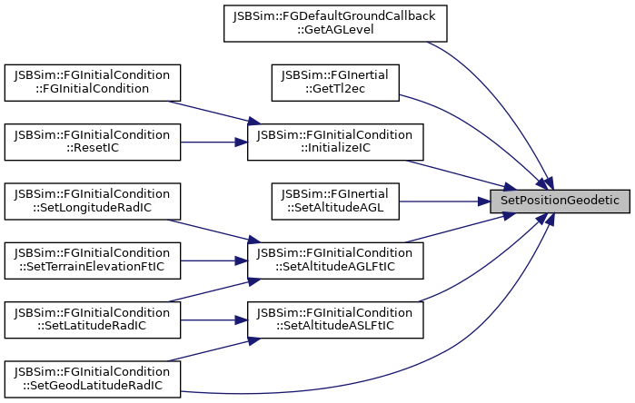
| void SetPositionGeodetic | ( | double | lon, |
| double | lat, | ||
| double | height | ||
| ) |
Sets the longitude, latitude and the distance above the reference spheroid.
| lon | longitude in radians |
| lat | GEODETIC latitude in radians |
| height | distance above the reference ellipsoid to vehicle in feet |
Definition at line 243 of file FGLocation.cpp.
Here is the caller graph for this function:| void SetRadius | ( | double | radius | ) |
Set the distance from the center of the earth.
| radius | Radius in ft to set. Sets the radius of the location represented with this class instance to the value of the given argument. The value is meant to be in ft. The latitude and longitude values are preserved with this call with the exception of radius being equal to zero. If the radius is previously set to zero, latitude and longitude is set equal to zero past this call. The argument should be positive. The behavior of this function called with a negative argument is left as an exercise to the gentle reader ... |
Definition at line 214 of file FGLocation.cpp.
Here is the call graph for this function: Here is the caller graph for this function: